A 7.1 magnitude earthquake has struck near Tonga, prompting a tsunami warning for the Pacific Island country.
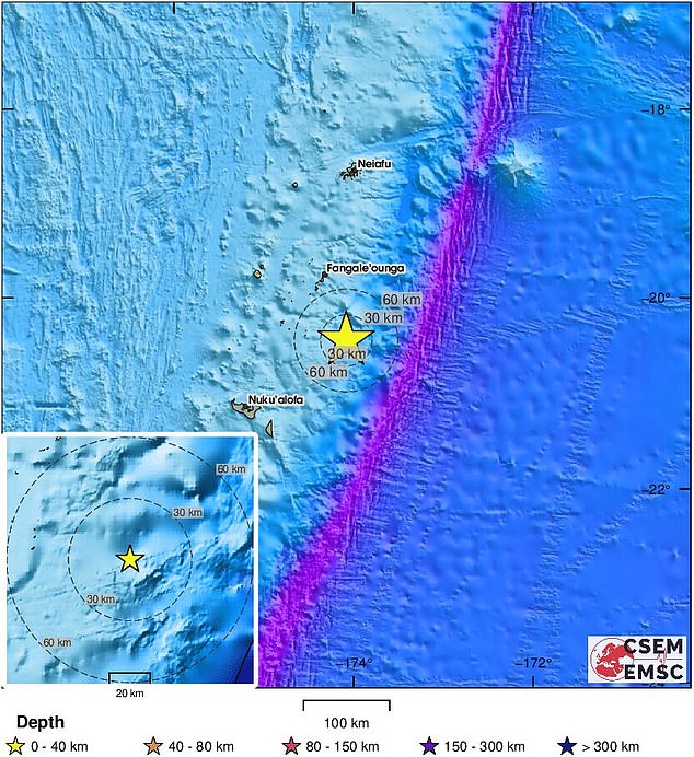
The temblor hit around 100km (62 miles) northeast of the main island early on Monday local time, according to the U.S. Geological Survey (USGS).
Germany’s GFZ centre for geosciences had earlier pegged the earthquake at magnitude 6.6.
The quake struck six miles deep, far shallower than the 18-mile deep Boxing Day tsunami.
But a shallow quake shakes the ground more severely, meaning the likelihood of a major tsunami is increased.
Hazardous waves could be possible for coasts within 300km (185 miles) of the quake’s epicentre, according to the Pacific Tsunami Warning Centre.
No reports of damage were immediately available, as the quake struck in the middle of the night.
The USGS has listed Fiji and Niue as the two other countries affected by the tremor.

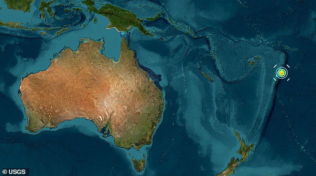
A geolocator showing the exact location of the earthquake that struck Tonga’s coast

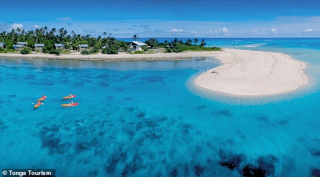
Pictured: Houmale’eia Beach in Tonga, a stretch of sand at the tip of Foa Island
A ‘credible’ tsunami threat for the vicinity remains in place, the US National Oceanic and Atmospheric Administration warned.
More than 2,000 people have reported feeling the quake which range from strong shaking to ‘light’ tremors.
Very few residents have been exposed to any danger during the initial earthquake and the risk of landslides is small, according to the US Geological Survey.
The Bureau of Meteorology confirmed there is no tsunami threat to Australia.
Tonga is a country in Polynesia. It is made up of 171 islands and home to 100,000 people, most of whom live on the island of Tongatapu.
The country is more than 3,500km (2,000 miles) from Australia’s east coast.
Tonga and Niue, which is northeast of the quake’s epicentre, may see a tsunami wave of between 0.3m to one metre.
And the Cook Islands, Fiji, Samoa, Tuvalu, Kiribati, Kermadec Islands, American Samoa and Wallis and Fortuna could see a wave of less than 30cm.

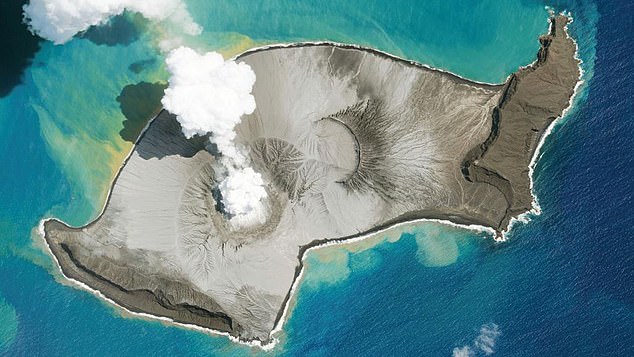
A satellite image shows the Hunga Tonga-Hunga Ha’apai volcano that erupted in 2022

There were no immediate reports of damage from the quake which struck in the early hours of Monday morning
It comes just two days after a powerful 7.7 magnitude earthquake hit Myanmar on Friday, with the death toll passing 1,600 in Myanmar and neighbouring Thailand.
State television in Myanmar confirmed that 1,644 have died – a sharp rise over the 1,002 total announced just hours earlier, underlining the difficulty of confirming casualties over a widespread region and the likelihood that the numbers will continue to grow.
The US Geological Survey and Germany‘s GFZ centre for geosciences said the quake struck at a shallow 6.2 miles below the surface, before a second quake, with a magnitude of 6.4, shook the area 12 minutes later.
A state of emergency has now been declared in six regions and states in Myanmar by the military-run government.
Tonga was rocked by the eruption of the Hunga Tonga volcano in 2022, covering the most populated islands in ash.
The eruption resulted in Earth’s the largest atmospheric explosion on modern record and left a crater in the seabed.
The volcano began erupting in December, 2021, and reached a devastating climax nearly four weeks later in mid January, 2022.


